|
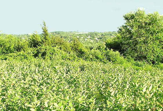
The
old orchard that covers Cedar Hill has lost many of its former
apple trees to disease and neglect, but a number of them are still
visible from the trail, although they're overgrown and no longer
produce many apples. Still, the hillside has a long way to go
before it reverts back to a full-grown hardwood forest. There
are also many cedar trees along the way. It is from these that
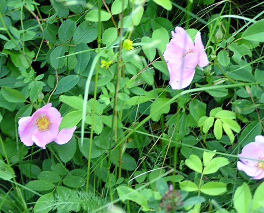
the hill gets its name. Many flowers also grow up here, including
Queen Anne's lace, yarrow, milkweed, clover, and wild roses.
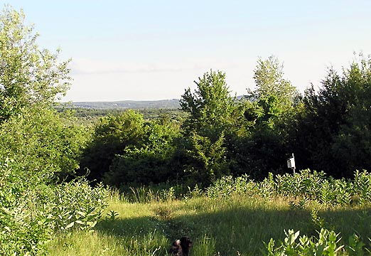
The
summit itself is treeless and grassy, and they mow it occasionally
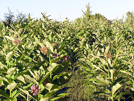
to keep down the growth. A huge patch of milkweed lies just below
the top, and attracts many butterflies. About ten years ago, a
local Boy Scout troop put up a number of bluebird houses, although
they rarely seem occupied except by bees.
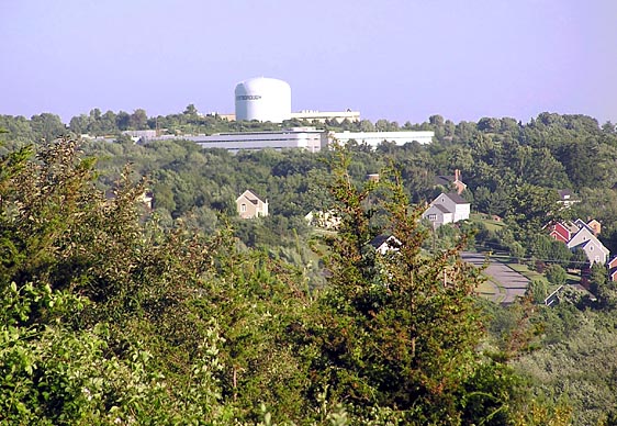
Considering
its low elevation, the views to the south aren't bad. Toward the
southeast, you can see one of Westboro's water towers on Newton
Hill along Rt 9. Just beyond this hill is the Sudbury
Valley Trustees' Walkup and Robinson Memorial Reservation,
another popular local hiking spot. There are also a few housing
developments and an industrial park visible from the top, but
there's still a lot of green covering the landscape.
The
north side of Cedar Hill is heavily wooded, so there aren't any
views in that direction. The trail from that side is much rockier,
and the scenery different. I sometimes start from the northern
trailhead which begins at an industrial park in Northboro.
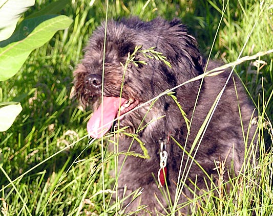
Muffin
likes to walk up here with me, even though it is a bad place for
ticks. It's an easy hike, but it's good exercise in between trips
to the mountains, and it's much better than walking or running
alongside the traffic on the streets below. |
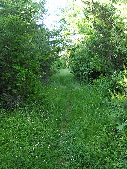
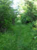
Cedar
Hill Trail. Much of the trail winds its way uphill through an
old overgrown apple orchard. |
 |