|
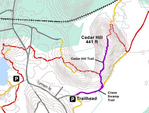
Cedar
Hill is not a very big mountain. In fact, at 441 ft, it's not
even a very big hill. Its main advantage for me is that it's close
to home. There's also a nice view to the south. I
climb there often, usually going up and down several times as
part of my exercise routine. Actually,
there's more than one trail to the summit, so I usually go up
one way, then down the other. On this trip, I simply went up and
back the same way.
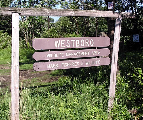
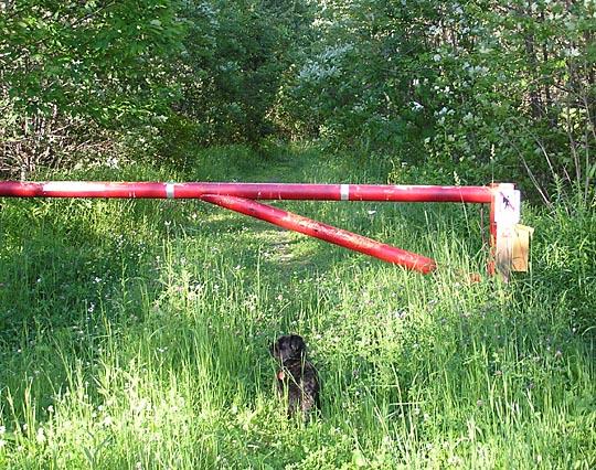
The
main trailhead on the south is the Crane Swamp Trail. It begins
at a parking lot at the end of a short dirt road just off Lyman
St on the Westboro/Northboro MA town line. This trail is also
used as an access road to the aqueduct that connects the Wachusett
Reservoir to the Boston water supply, so the beginning of the
road is gated, although I haven't seen the gate open nor any car
on the road for several years.
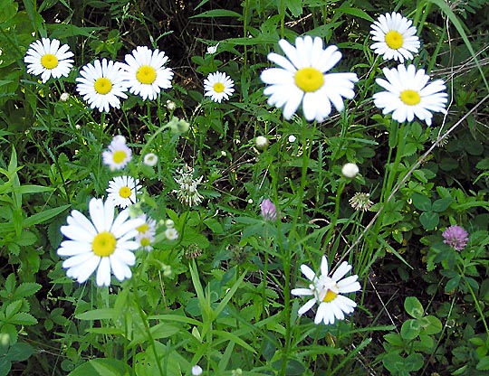
As
its name suggests, the trail skirts the border of Crane Swamp
on the south, with gently rising woods on the north side. There's
also a small meadow and hayfield near the parking lot, so there's
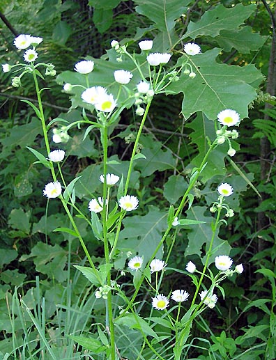
quite a variety of wildflowers. For example, the swamp side of
the trail is full of skunk cabbage and cattails, while daisies
and asters grow along the wooded side.
About
a half-mile from the parking lot, the trail passes an old abandoned
and decaying pump house, which I think used to supply well water
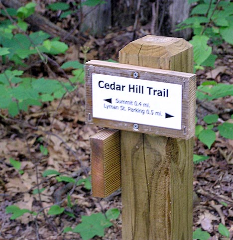
to nearby Westboro State Hospital. Just beyond, the Cedar Hill
Trail diverges left into the woods, and soon begins to climb gently
through the mixed hardwood and white pine woodland.
At
the top of this first rise, in a col between Cedar Hill and a
smaller adjacent hill, the Cedar Hill Trail turns sharply right,
and enters an old overgrown apple orchard. |
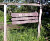
Trailhead.
The Crane Swamp Trail begins at a parking lot at the end of a
short dirt road just off Lyman St near the Westboro/Northboro
town line. |
 |