|
The next morning, we arose
reasonably early, packed away the tent (actually I did all the packing -
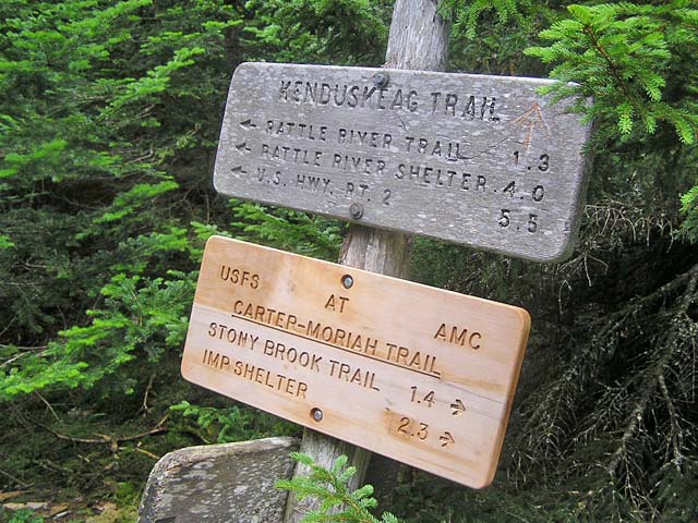
Muffin just sat there watching me), and headed up the long Imp Spur Trail.
Like the Guyot Campsite Spur Trail, this trail just seems to go on
forever. One always expects spur trails to be rather short.
At the Carter-Moriah Trail, we turned left and climbed over some minor humps,
rising to an open ledgy
area with great views to the north and west. I
could see the town of Gorham in the northwest, with the slender ribbon of Rt 16 disappearing through a small notch toward Berlin and beyond. To the
north, the tiny rocky summit cone of Mt Moriah peeked out just above the
wooded ridge.
To
the southwest, the jagged and bulky backside of Imp Mtn stood watch over
the hollow somewhere below us where I guessed the Imp
Campsite lay.
By the time we reached the Stony Brook Trail
junction, the weather was definitely deteriorating. I was thoroughly bushed, and
probably a bit dehydrated, and seriously considered just heading down
the Stony Brook Trail rather than taking a chance on getting drenched on Moriah's many open ledges. But in the end, as I
often do, I convinced
myself to go on with the thought that we could always turn around if
we wanted to. That thought often helps me to push on when I'm tired
and unsure of my ability to make a summit.
As we climbed onward, the temperature
began to drop and the wind started to pick up. I really expected it
to start raining any minute. But it didn't, and we soon got to a
point where continuing on was less work than turning around, so on
we plodded until we reached that very steep, chimney-like climb
up the last 50 feet or so to the summit. Since I rather like the challenge
of these steep pitches, I enjoyed the last push and we were soon
standing on Mr Moriah. Unlike the last time I was here, when there
was a large group of boys from a camp hogging the summit rocks, we
had the place all to ourselves.
Then, at last, we were on our way down.
Gorham was still a long way off, but at least we were in the trees
again, out of the wind and sheltered from any possible storm. I was
kind of looking forward to seeing Mt Surprise, since I had never
been there. But the surprise was on me, because I wasn't quite sure
whether we had reached it or not. All the little bumps on the ridge
looked the same, and I never saw the box canyon that the guidebook
referred to.
Finally, after a last stretch of
slogging along, we turned a corner, and emerged onto Bangor Road in
Gorham. I took my pack off and called
Art Jolin's White Mountain Shuttle (603-466-2127). As he's based out
of Gorham, it only took a few minutes for him to get there and we
were on our way back to our car. The hike was over. Oh yeah, I
almost forgot. It started pouring about two minutes after we got
into the shuttle. |
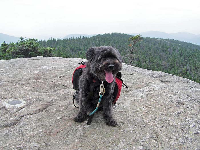
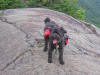
Muffin on the
Carter-Moriah Trail. There are several open ledgy areas between
the Imp Spur and the Stony Brook Trail. |
 |