|
We were now on a section of the trail I
had never been on. Coming from the south, I had been as far as South
Carter, while coming from the north, I had reached Middle Carter.
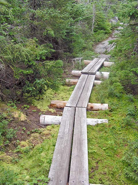
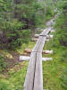
But the trail here was much the same, with numerous boggy stretches
crossed by timber puncheons (bog bridges), which really help to
control erosion. And when they're in good shape like these were,
they also speed up hiking significantly, especially when you're
tired and carrying a heavy pack.
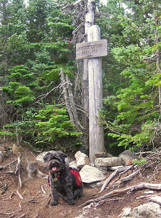
When we arrived at the summit of
Middle Carter, we stopped again for a quick snack and a drink.
Our water supply was dwindling so I didn't drink as much as I
really wanted. Except for some glimpses through the trees, the
views from Middle Carter are pretty much non-existent, but I
knew we were coming to an area that promised excellent views.
The trail drops sharply just before climbing the bare summit of
Mt Lethe, an insignificant bump in the ridge, but with the best
views in the middle part of the range.
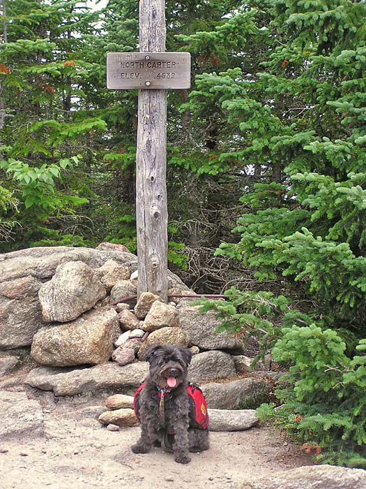
We continued to plod northward, heading
for what I knew was the last uphill stretch of the day, the ascent
of North Carter. While not an official four thousand-footer, North
Carter is an interesting mountain with a great steep scramble from
the north. The summit area of North Carter is large and flat, and
covered with hundreds of tiny quartz pieces that glitter like a
field of gold nuggets in the morning light. At this time of day,
however, that effect wasn't apparent.
Leaving the summit, I had to be careful
to keep my balance on the steep descent, especially with my heavy
pack. We drank the last of our water on North Carter, so as we
headed toward the Imp Campsite, I scoured the sides of the trail for
any signs of water. For a long time, there was nothing. Then
finally, I located a small rivulet of minimally-flowing water
underneath one of the bog bridges. I decided to fill up one bottle
and take a good long drink. Bad idea! After several gulps, I
realized that the water tasted and smelled absolutely disgusting, a
kind of cross between bad breath and dog poop. I spilled the rest
out. Luckily, other than the bad taste that lingered in my mouth for
the rest of the day, I suffered no ill effects.
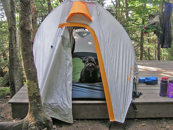
Not long afterward, we reached the spur
trail to the Imp Campsite. I hadn't realized that we were quite this
close. I was relieved that there were still tent platforms left. In
fact, we were to arrive for the night, so we had our pick of sites.
That evening, we filled up all the water
bottles from the nicely-flowing brook, had a nice supper of
vegetarian chili and gatorade, then retired for the night. |
Timber
puncheons (bog bridges) on the Carter-Moriah Trail. There are
quite a few boggy stretches along this trail. These elevated
planks help reduce erosion and make hiking easier. |
 |