|
This
was going to be a longer-than-usual 3-day backpacking trek across
the entire Wildcat ridge and Carter range from Pinkham Notch to
Gorham, and would add six peaks to Muffin's four thousand-footer
count. After giving it some thought, I decided that it would
probably be easier on Muffin's feet if we hiked up the slopes at
the Wildcat Ski Area than to go up the much rockier Wildcat Ridge
Trail. I didn't want her to start out the trip with sore feet.
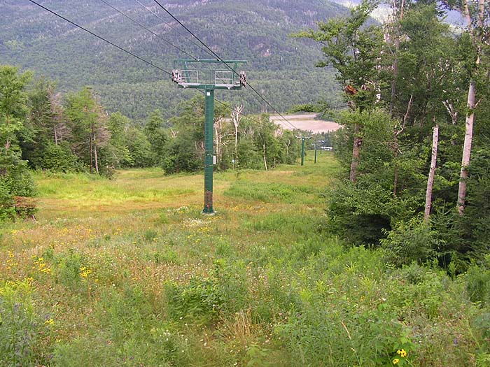
After
stopping briefly at the
AMC Pinkham Notch Visitor's Center, we drove
over to the Wildcat Ski Area parking lot, and ambled over to the
bottom of the main chairlift. I wasn't sure which ski trail to
take, so we just started to climb up under the lift.
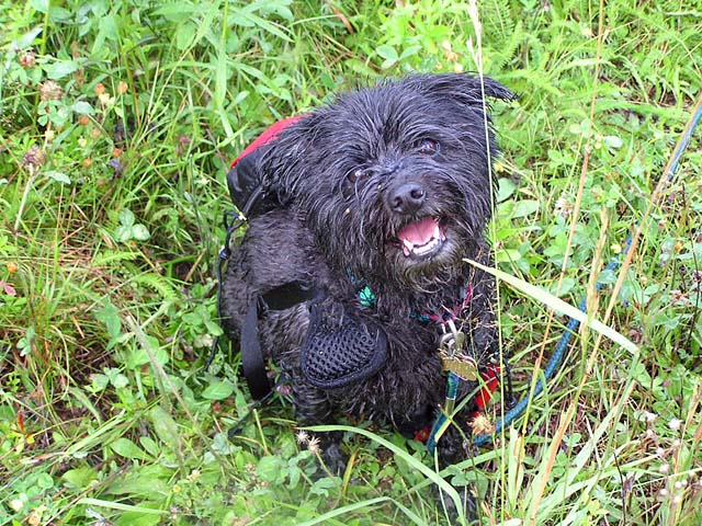
The
grass was fairly tall; it didn't seem to have been mowed in some
time. The weather was sunny and pleasant now, but it had been
raining the night before so the grass and brush were soaking wet.
It didn't take long before we were either. My pants legs were
drenched up to my knees and my boots never really dried out for
the rest of the trip. Muffin would have looked like she had just
had a bath except for all the bits of grass and pollen sticking to
her.
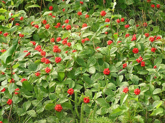
Despite
the wet conditions, the climbing was fairly easy and the ski
slopes were abundantly blooming with all the summer wildflowers
and a number of brightly-colored berries. The bunchberries were
especially vivid.
We
wound our way upward, occasionally switching trails if the grass
looked shorter on another part of the slope, and in less time than
I had expected, we reached the top of the main chairlift. By the
time we got up there, the lift had started running for the day,
bringing a number of curious tourists up for the views. There were
also several thru-hikers having a snack near the lift building; I
think the tourists were amazed to see a number of hikers with
heavy packs.
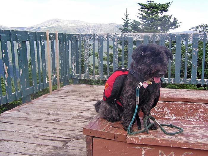
After
a short rest, we climbed a short distance up the Wildcat Ridge
Trail to the summit of Wildcat D, which has an old weather-beaten
green and brown observation tower. The tower could really use a
good coat of paint, and probably some major repairs as well. |