|
The
drive up to the Mt Cabot Trailhead was a long one as it was much
further north than the bulk of the White Mountain ranges. Continuing
north from Franconia Notch, I passed through Whitefield, Lancaster,
and Groverton before reaching the tiny village of Stark, only
a few miles east of the Connecticut River and the Vermont border.
The Unknown Pond Trail begins about 4 miles south of town down
the long winding gravel Mill Brook Road.
The
White Mountain Guide had indicated that Mill Brook Road would
be gated almost a mile from the actual trailhead. But luck was
with me; the gate was open, so I drove on through, parking almost
directly across from the trailhead.
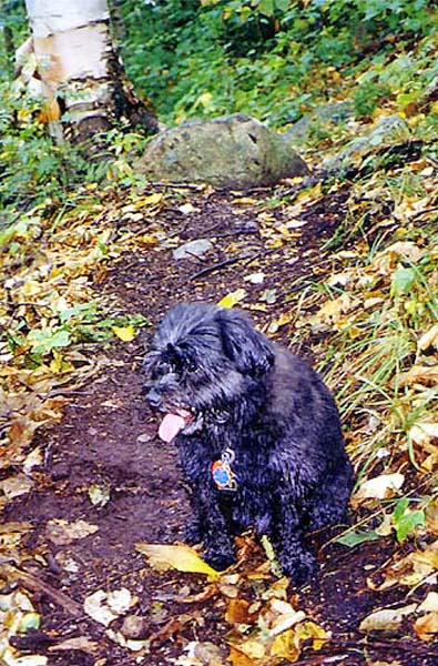
Muffin
and I crossed the road and started up the leaf-strewn trail. The
strong scent of decaying leaves and plant matter filled the air.
The going was easy but not as effortless as it should have been
because I hadn't been getting much exercise and was a bit out
of shape.
About 3/4
of the way up to the pond, someone had put a makeshift sign on
a tree warning about bees on the trail ahead. I walked ahead cautiously,
expecting to see them swarm around me any second. But we soon
passed the marked area where another sign greeted hikers coming
down the trail. Apparently, the bees had left the area.
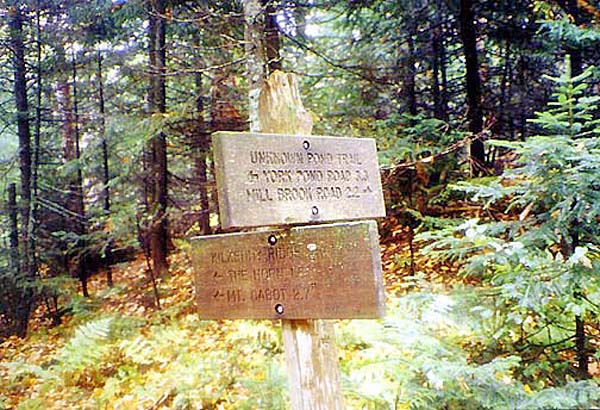
Before
long, the trail leveled off and we came to the Kilkenny Ridge
Trail, with Unknown Pond just a few steps off the trail. The woods
were cool and open, and the views across the pond were excellent.
It was a nice restful spot and would have been especially welcome
on a hot day.
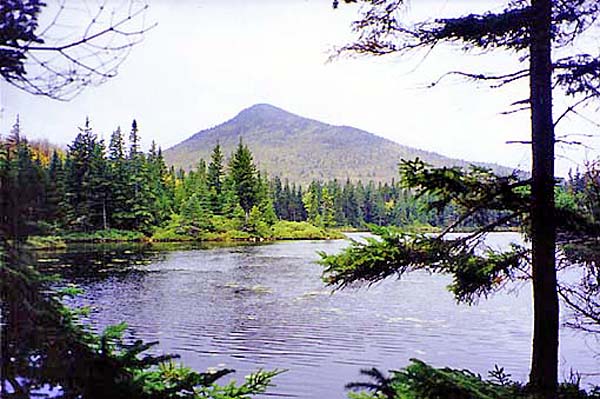
The
Horn, a small and picturesque peak along Kilkenny Ridge juts up
out of the woods across the pond to the south. It was our next
destination as it was only a short detour off the trail to Mt
Cabot. |