|
Day
2
To
my delight, when I awoke at 5:00 AM, my altimeter hadn't changed
at all, so I knew the great weather was going to hold. After a
quick breakfast of dry oatmeal and a power bar, I quickly took
down our camp and we headed up the still-cool Bondcliff Trail.
My hopes were to climb Mt Bondcliff, then possibly continue to
Guyot Campsite for the night, returning to Lincoln Woods the next
day via Galehead Hut and the Twin Brook and Franconia Brook Trails.
But my plan wasn't cast in stone; I wanted to monitor the condition
of Muffin's sore feet.
The
path ascended gently up the Black Brook valley for some distance,
then crossed over the remains of the ravine and made a strange
unmarked turn down a dry brook bed (luckily, this oddity was
described in the guidebook). It then curved left and began to
climb more steadily, up a series of steep stone steps. Soon, we
encountered some hikers sitting at a scenic spot at the head of
another ravine. They were waiting for one of their party to catch
up. I found out later that the errant hiker had tired and turned
around further down and that these poor climbers had to give up
their quest and follow him down.
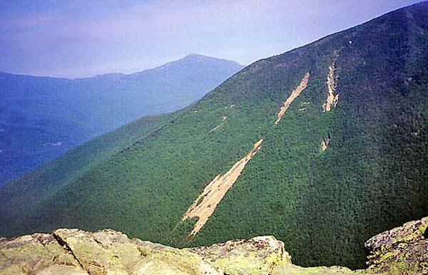
Above that spot, the trail began to switchback up the end of the
steep ridge. The weather was getting warmer as the day wore on,
and we stopped fairly often to take a drink.
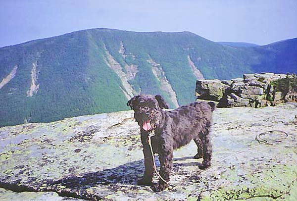
Just
before hitting treeline, we abruptly encountered a sheer vertical
ledge about ten to twelve feet high. There were plenty of niches
for hand and footholds for me, but as in King Ravine, I had to
hoist Muffin up over my head to a small nook, climb up to her,
then lift her the rest of the way to the top. I'm lucky that she's
not a large dog.
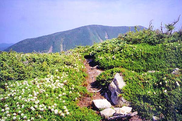
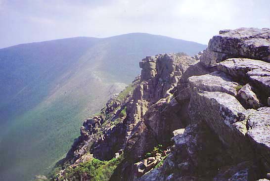
A
few steps above the little cliff, we emerged from the scrub and
were above treeline. The whole exposed ridge blossomed with hundreds
of white mountain laurels, which was one of my favorite things
about this peak. We wandered across the large flat but rocky summit
area, peering over the precipitous cliffs and looking for the
best place to take some pictures. Then we hunkered down into the
lee of a medium-sized boulder where there was at least some shelter
from the piercing sun.
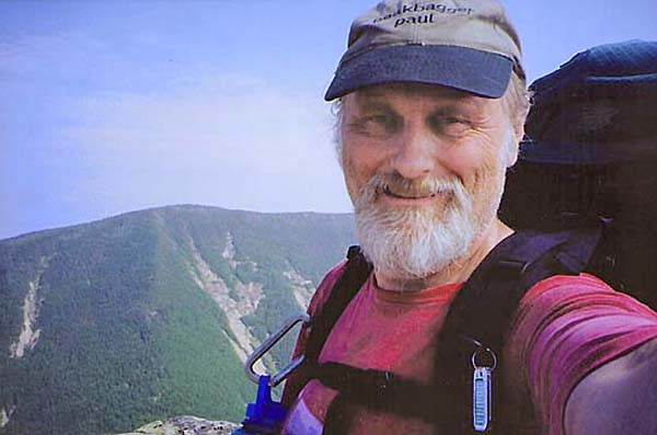
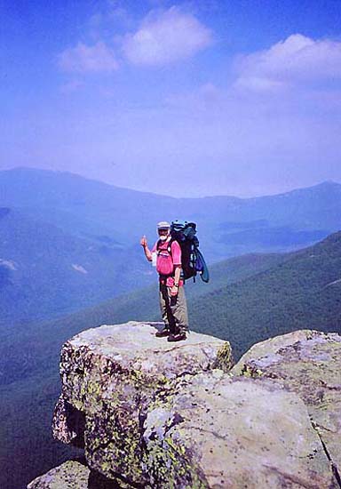
For
maybe ten minutes, we had the summit to ourselves. When some other
hikers approached,
I asked them to take my picture on the obligatory promontory
overlooking the Franconia Brook valley. I left Muffin on more
solid ground.
The
views were great but a bit hazy. It was close to noon, the heat
was mounting, and Muffin's feet were still tender, so I elected
to return the way we came rather than to cross the long shade-less
ridge to Mt Bond and continue on to the Guyot shelter. |
Coming
above treeline on Mt Bondcliff. I think that the white flowers
are mountain laurel. |
 |