|
While
my wife Toi and daughter Holly went on a Girl Scout trip to England during
the first week in July, I was planning on taking a longer-than-usual 5-day
backpacking trip through the White Mountains with our dog Muffin, starting
from Appalachia and ending in Franconia Notch, then taking the AMC shuttle
back to the car. Of course, it didn't quite work out that way, and the first
part of the trip consisted of a climb up King
Ravine, two nights of camping, first at the Perch and then along Snyder
Brook, and then returning to my car at Appalachia on July 3.
At
that point, I had only one more 4000-footer to climb, which was Mt Bondcliff,
so after driving to nearby Gorham and picking up breakfast at McDonald's for
Muffin and myself, I turned south toward Lincoln and the Wilderness Trail to
begin my climb of Bondcliff.
I
pulled into the Lincoln Woods parking area just before lunchtime. It was
extremely crowded, primarily with day trippers heading out to Franconia
Falls, I suppose. To avoid some of these crowds, and for a change of pace, I
decided to take the alternative East Branch Truck Road (which had been
renamed to the Pemi East Side Trail). This trail parallels
the Wilderness Trail, but on the opposite (east) bank of the East Branch of
the Pemigewasset river.
Muffin's
feet were still a little sore from King Ravine, so we took it easy, enjoying
the lazy summer weather and the occasional views of the river. Just over
halfway to the new Franconia
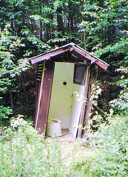
Brook Campsite, we discovered an old
abandoned outhouse in the brush off the trail. I think this area may
have been the site of an old logging camp, though most likely the outhouse
had been part of a picnic area in the more recent past.
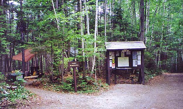
When
we got to the Franconia Brook Campsite, I took a look around, trying to get
an idea of whether I wanted to camp there sometime in the future. Although
not particularly crowded that day, it appeared to be a popular summer spot.
You can't drive to it, but some people had managed to lug in some large car
camping tents and paraphernalia.
After
answering a camper's question about whether it was okay to wash her hair
with biodegradable shampoo in the river (I told her that people drink that
water and probably wouldn't appreciate soap in the water), Muffin and I
crossed the river on large stepping stones to return to the Wilderness
Trail. |