|
I
usually go to Great Blue Hill four or five times a year. It's about a half-hour
drive from where I work, so if I can manage to take a long lunch
and I'm not stuck running other errands, I drive down there.
There's
a whole network of trails in the Blue Hills Reservation, but I
usually go up the Skyline Trail from Rt 138 to the summit of Great
Blue Hill. Then, if I have time, I continue on the Skyline Trail
to to Wolcott and Hemenway Hills, and occasionally to Hancock
Hill. It's not a bad climb; for example, a round trip from Rt 138
to Hemenway Hill is over 1100 ft elevation gain. On
this trip, partially because of the extra time required to take
pictures, I chose to just go up to Great Blue Hill and back again.
There's
a parking lot almost directly across the street from the Skyline
Trailhead which serves both as trail parking and a commuter
rideshare lot. However, there's usually also a few cars parked
there with guys just sitting in them, even in the middle of the
day, and I get the feeling that something illegal may take place
there. I just park and then quickly cross the street to the trail.
I've never seen non-hikers cross over to that side of the street,
and I've never been bothered. However, down the street a short
distance, the Blue Hills Nature Center also has parking, which is
frequented by families and picnickers. The more heavily-used Red
Dot Trail climbs up Great Blue Hill from this lot.
The
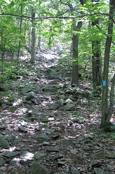
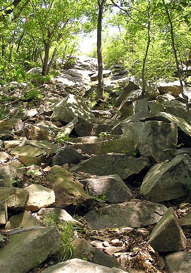
Skyline Trail which begins to ascend the southwest side of Great
Blue Hill at a moderate incline up a rock-strewn, and often wet
cut in the hillside. A short distance up, it crosses the level
Accord Path, after which it gets steeper and rockier. The terrain
alternates between woods and open granite ledges. At each
successive ledge, the views to the southwest of the rolling
eastern Massachusetts hills (and the busy freeway known as Rt 128
which forms a large semi-circle around greater Boston) get better
and better. Of course, it's nothing like the White Mountains, but
you can see for quite a distance on a clear day.
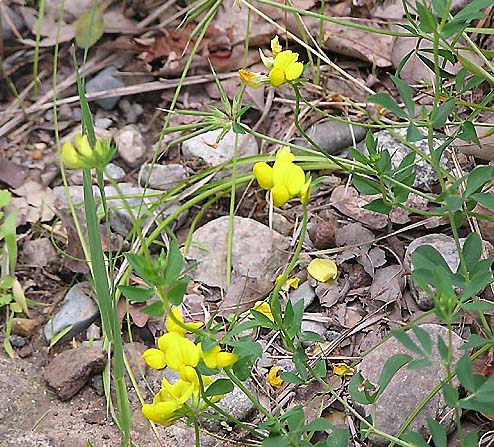
In
the spring and summer, the mixed pine and hardwood forest along
the trail is filled with wildflowers such as Spring Beauties, Lady
Slippers, Ox-Eye Daisies, and Wild Indigo.
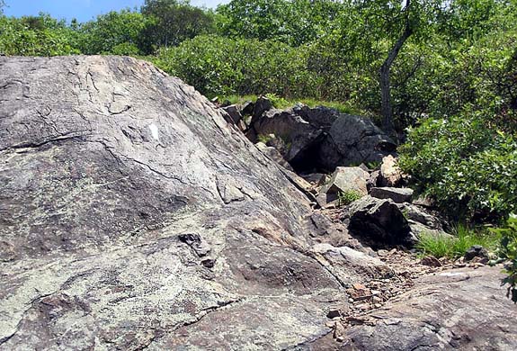
Just
before the trail reaches the large summit plateau, it crosses one
last area of potholed ledges, where I've often seen people
enjoying the views while picnicking on the rocks. It then descends
slightly to join the Eliot Circle Trail near the Blue Hills
Observatory. |