|
As
has become the routine for me, I got up at 4:00 AM and left home at
4:30 to make the drive up to the Northern Presidentials. After an
uneventful drive, I arrived at
Lowe's Store at 7:45, paid the $1.00 parking fee, then headed across the
road to the trailhead.
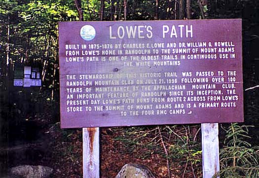
Just
beyond the trailhead sign was a historical marker giving a bit of trail
history. Lowe's Path was built by Charles Lowe and Dr William Nowell in 1875 -
1876. The people who run Lowe's Store are descendants of Charles Lowe. The
store was built in the early 1900s. They have pictures of its construction
on the wall in the store.
After
crossing the old railroad bed and ducking under the power lines, the trail
entered the woods at an easy grade. It was a good start for a long hike.
Although it promised to be a hot day, the woods were still cool and nice,
with numerous flowers growing near the trail. It was quite pleasant except
for the mosquitoes, which were very annoying if I stopped for a minute.
Unfortunately, I forgot the repellent.
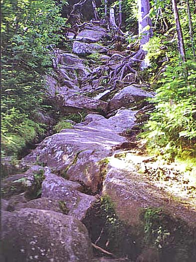
The
trail continued upward at easy to moderate grades. I could even take my
eyes off my feet long enough to look up at the woods during stretches that were relatively free of rocks and
roots. Not too long after I passed the junction with the Link Trail, it
began to get a little steeper, then abruptly became extremely steep,
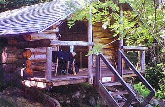
climbing up several smooth ledges. After a couple of especially steep pitches, I
reached the Log Cabin, an open front shelter run by the
Randolph Mountain Club
(RMC).
A couple from Quebec was resting there on their way down. They had spent
the night at the RMC cabin, Crag Camp, which is perched on the edge of
King Ravine. After they left, I rested a few more minutes, then headed
back up the trail. |
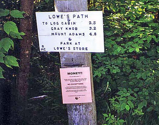
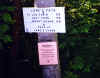
Trailhead
sign. Lowe's Path begins almost directly across Rt 2 from Lowe's Store.
You have to park at the store as there's no parking at the actual
trailhead. They charge a dollar a day, which is not a bad deal. |
|